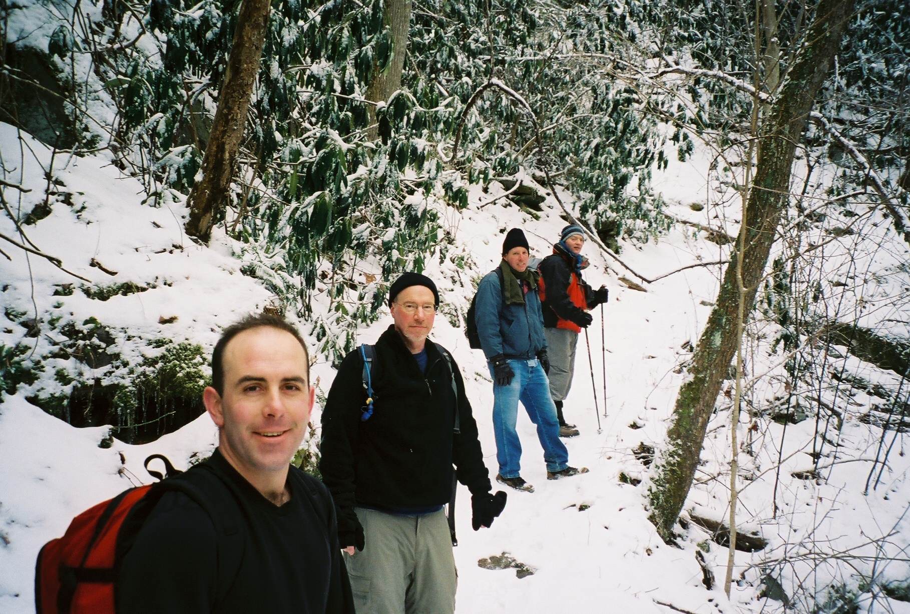
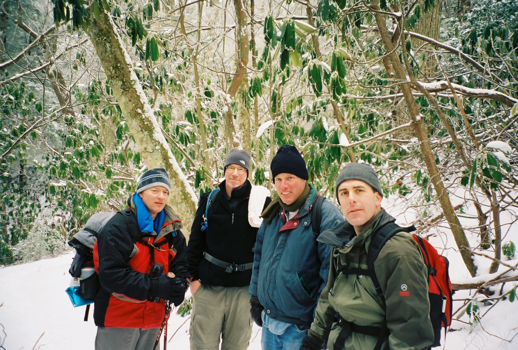
 Gathering up and ready to start - Kent, Michael, Chip and Mark
Mount Sterling via Baxter Creek Trail / 2-19-2006
12.4 miles and 4100 feet of ascents as per the hike database
12.0 miles and 3963 feet of ascents as per my GPS
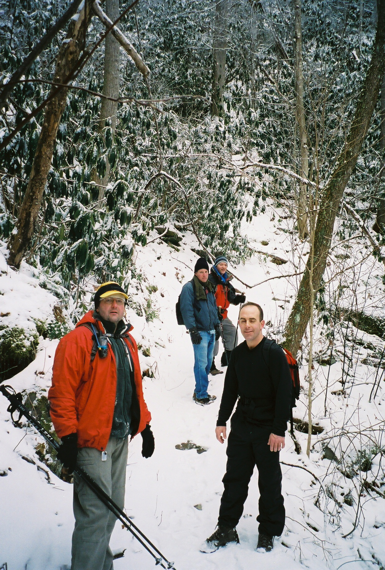
Chip, Michael, John, Kent and Me
PDF tracks of hike - mt_sterling1.pdf
PDF tracks of hike - mt_sterling2.pdf
PDF tracks of hike - mt_sterling3.pdf
Click on any photo to get a bigger version:
Gathering up and ready to start - Kent, Michael, Chip and Mark
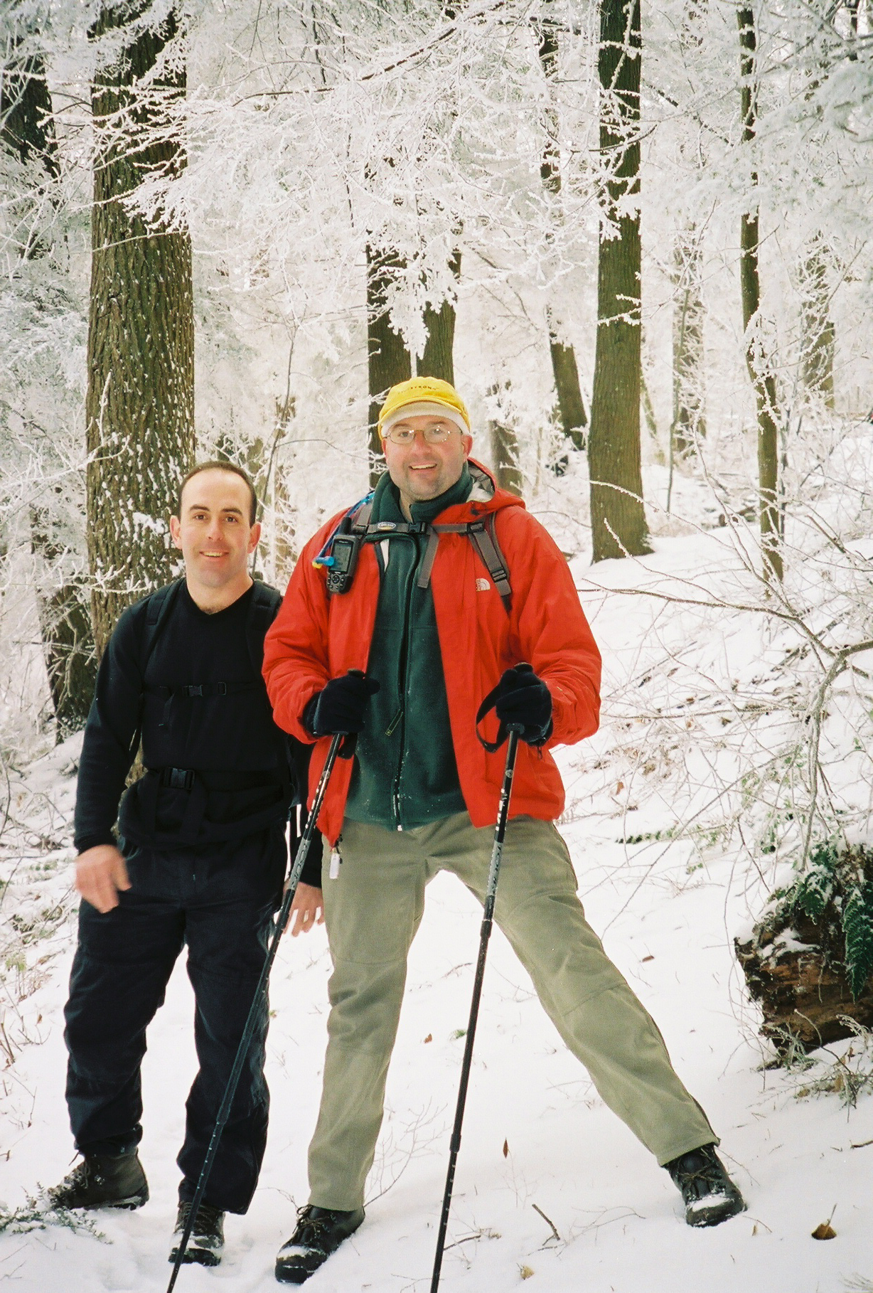
 Kent, Michael, Chip and John
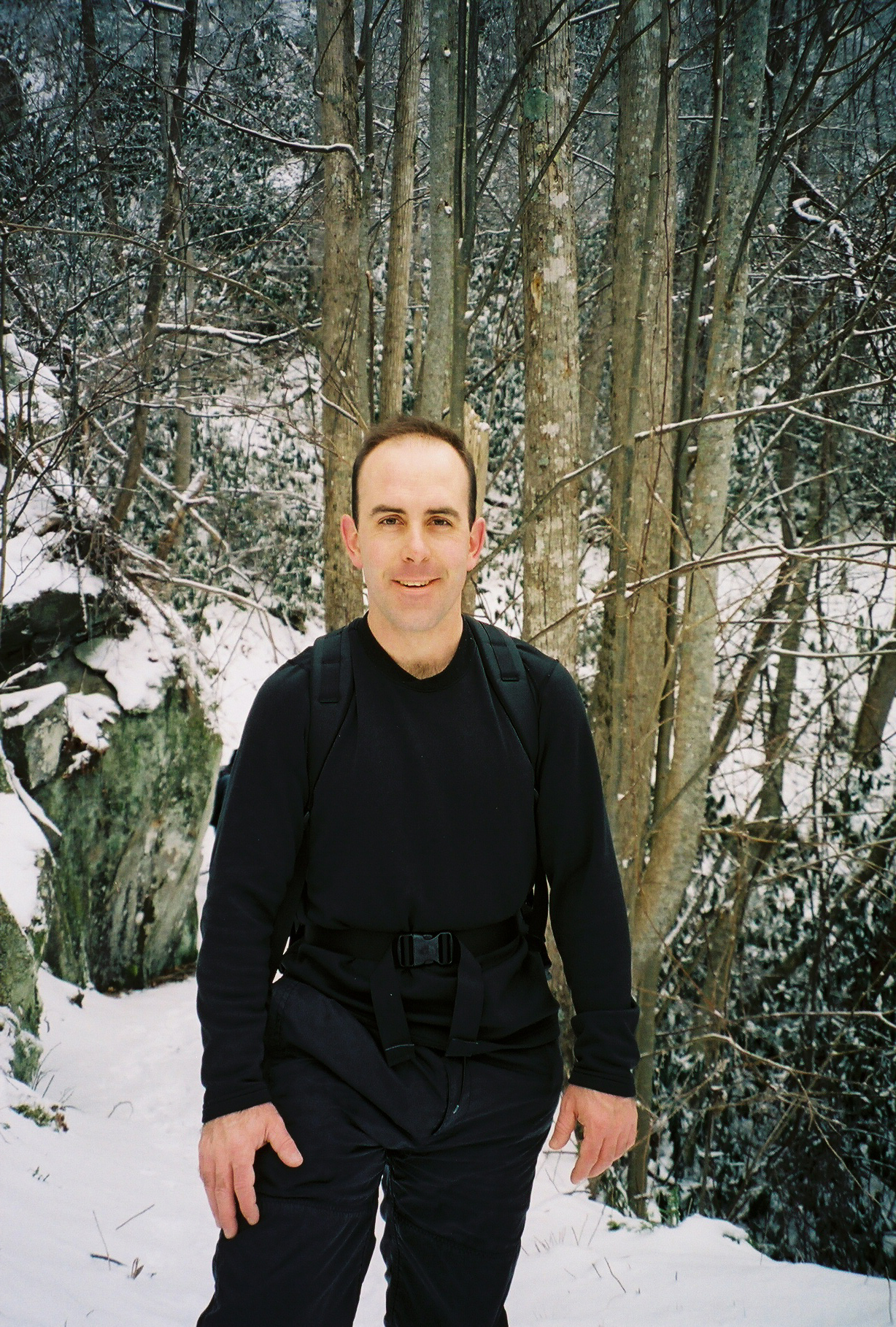
 John
John
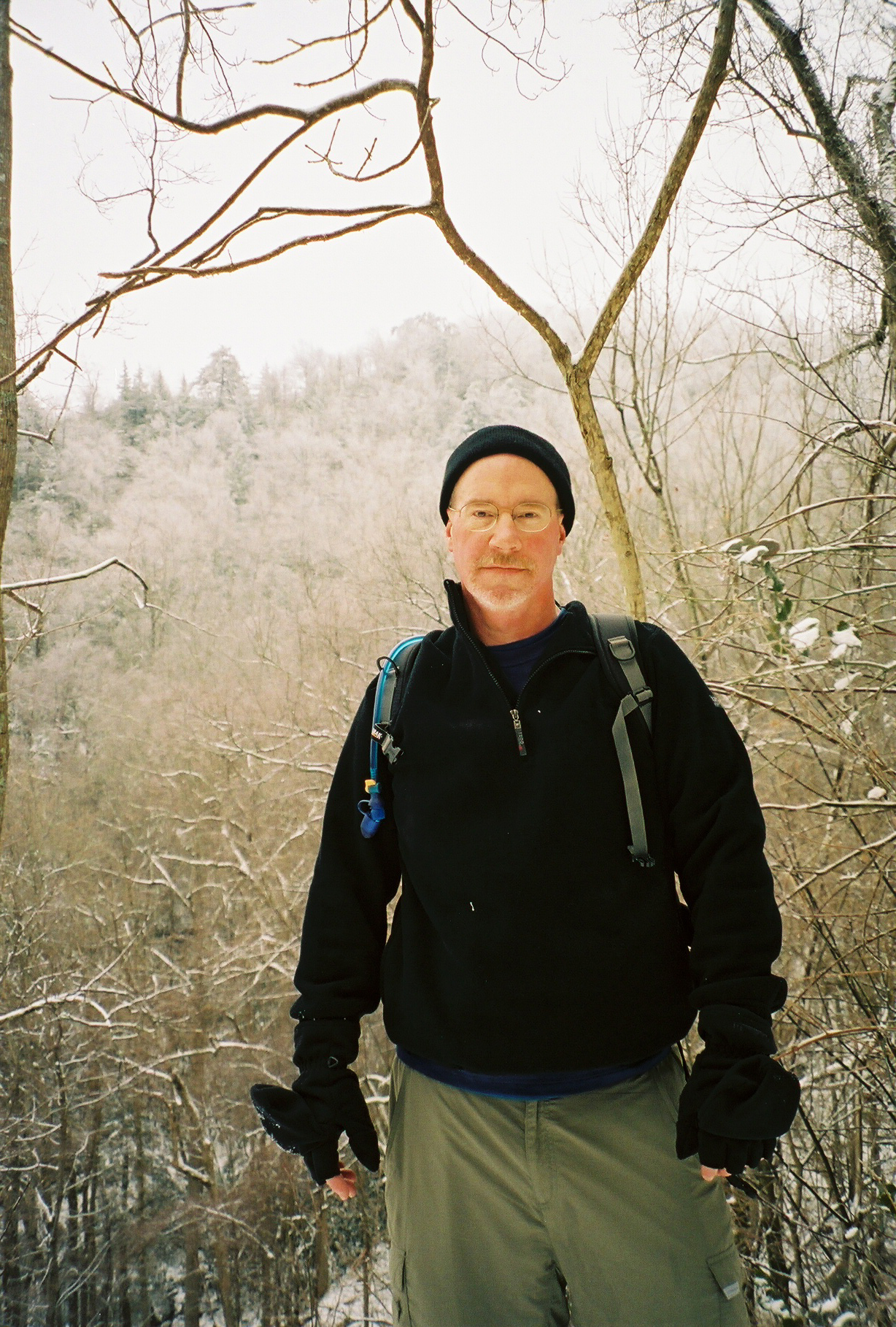
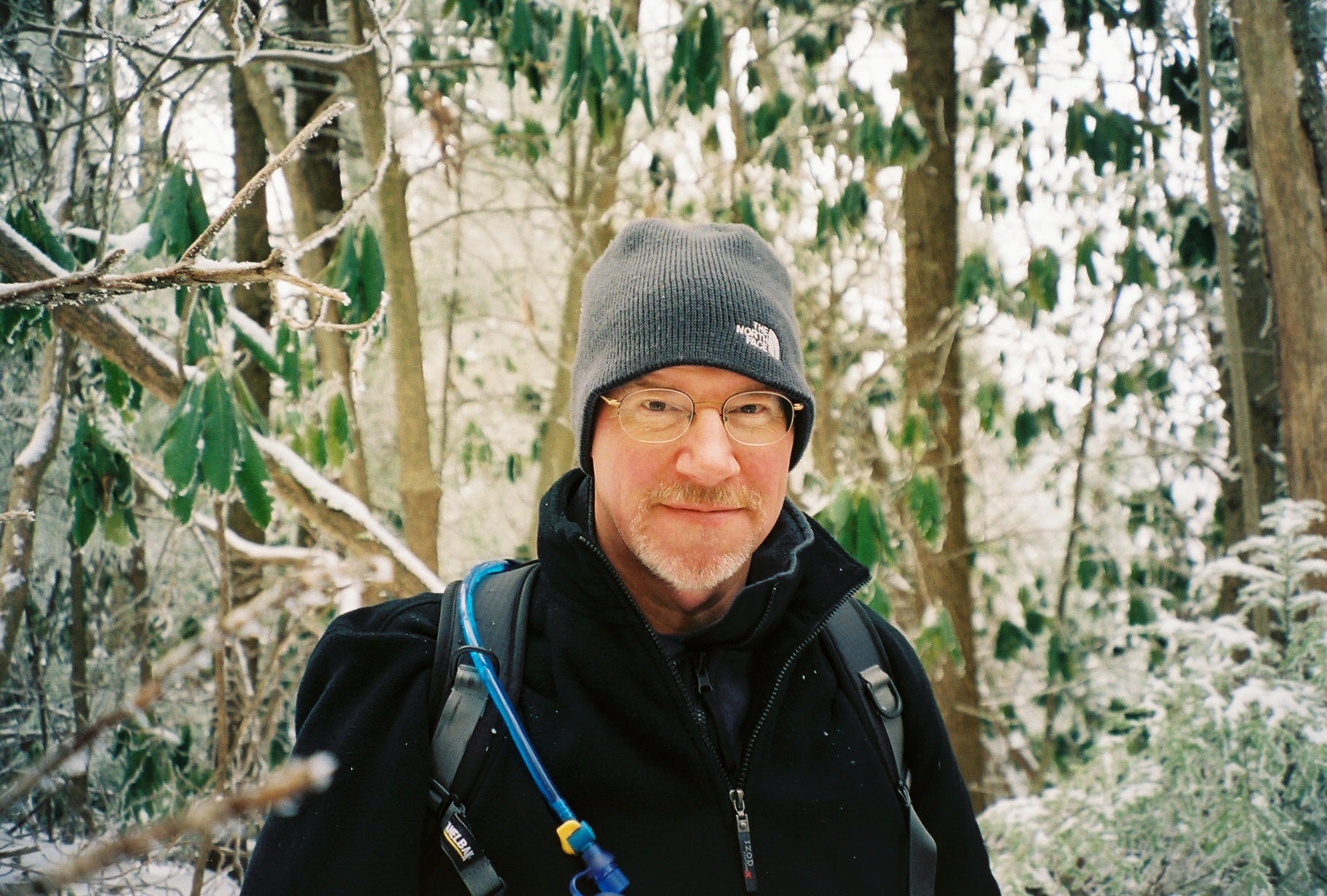
 Kent
Kent
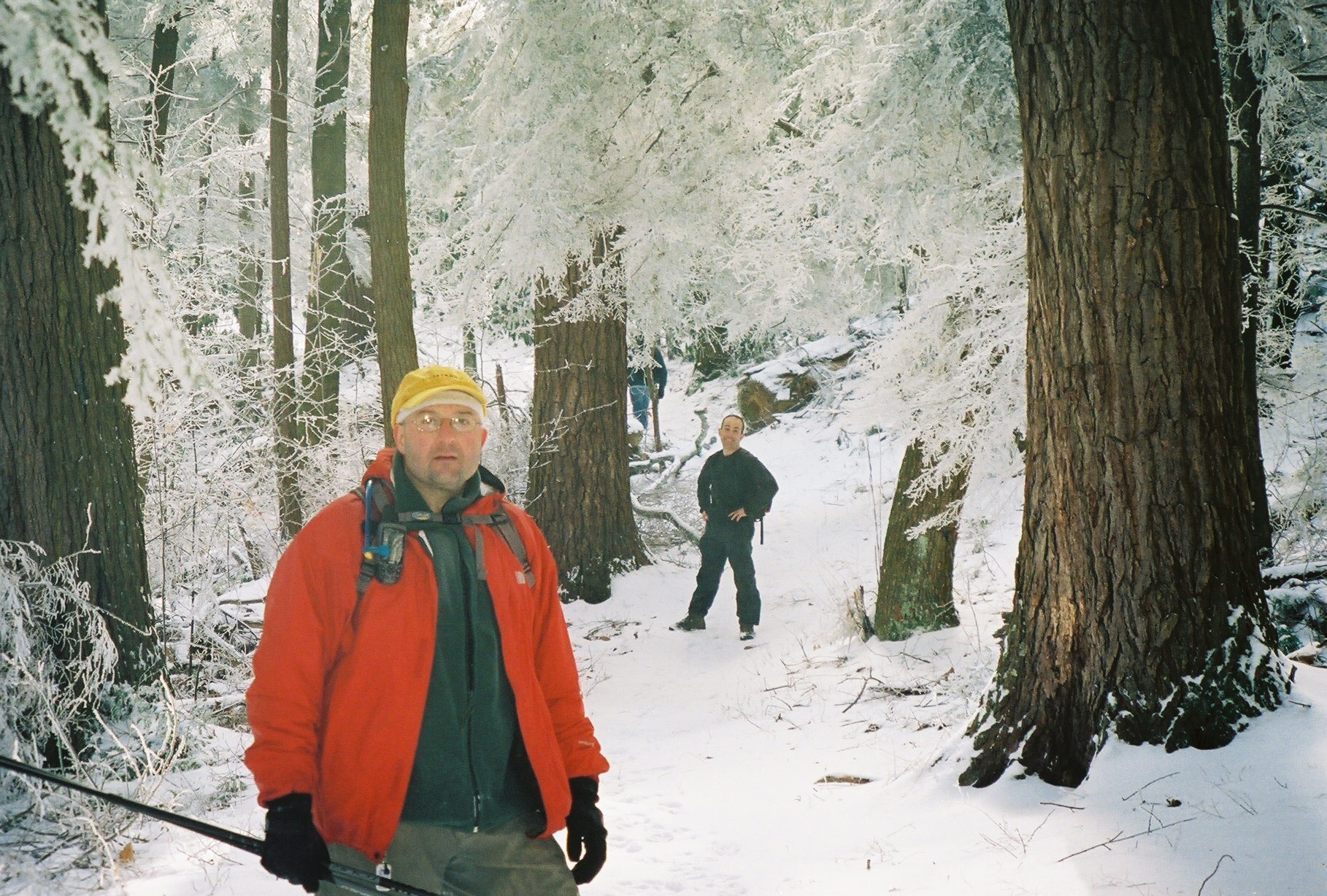
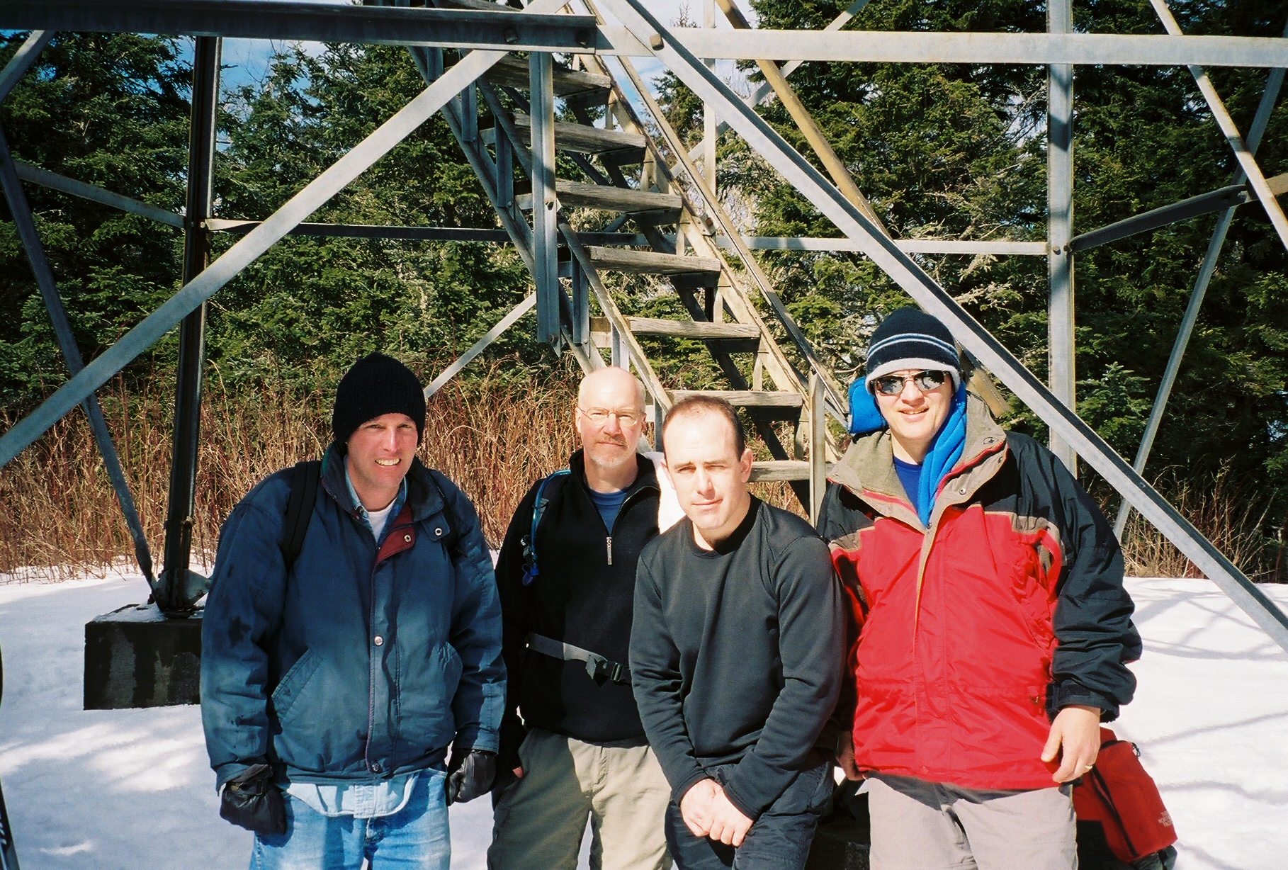
 Kent, John, Michael, and up front is Chip
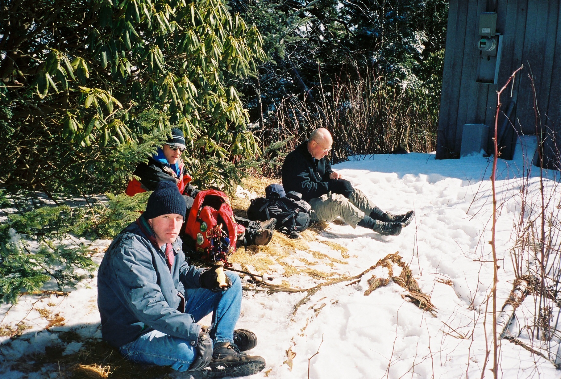
 Closest to the left is Mark with Kent to the right, farthest left is Michael then Chip to the right
 Mark, Kent and then Michael's back
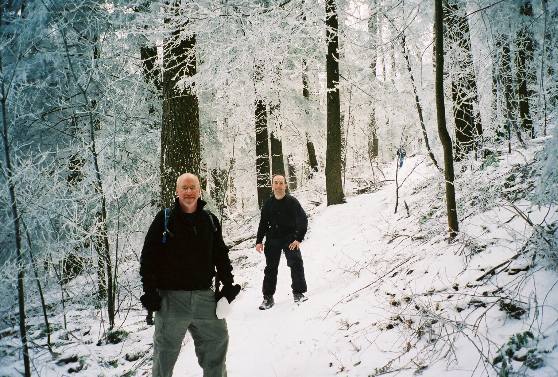
 John and Kent
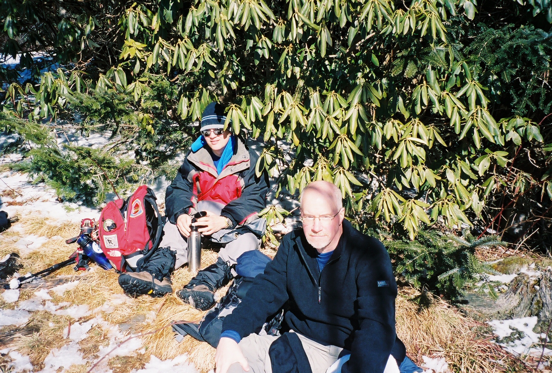
 Kent and Mark
 John and Kent
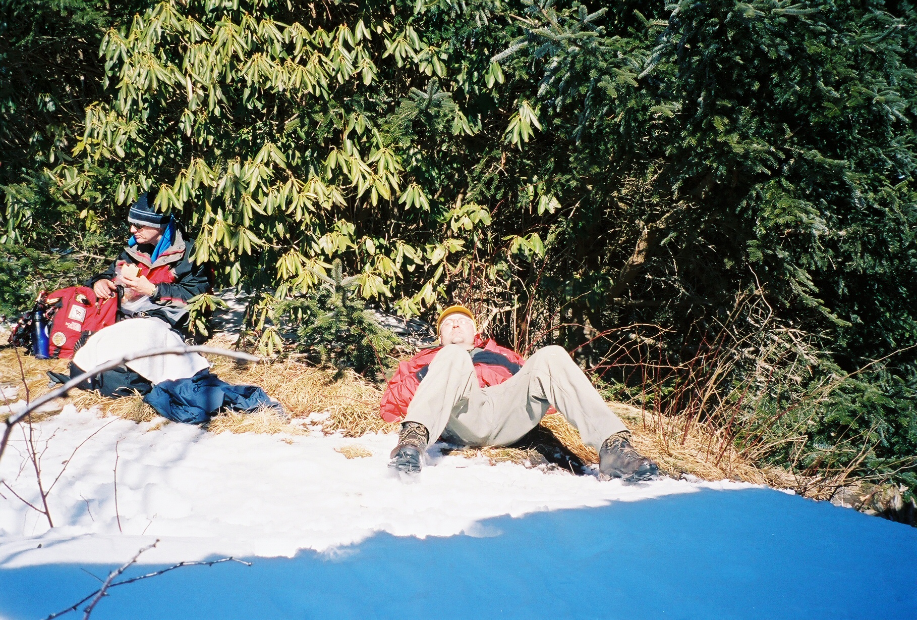
 Mark and Chip
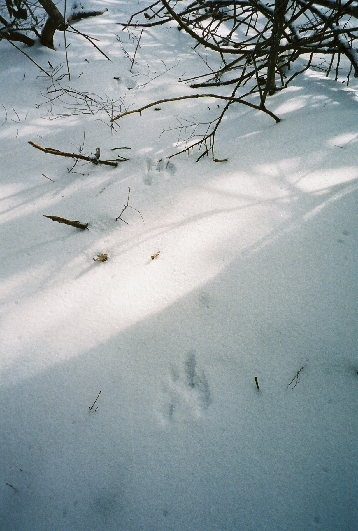 Critter tracks
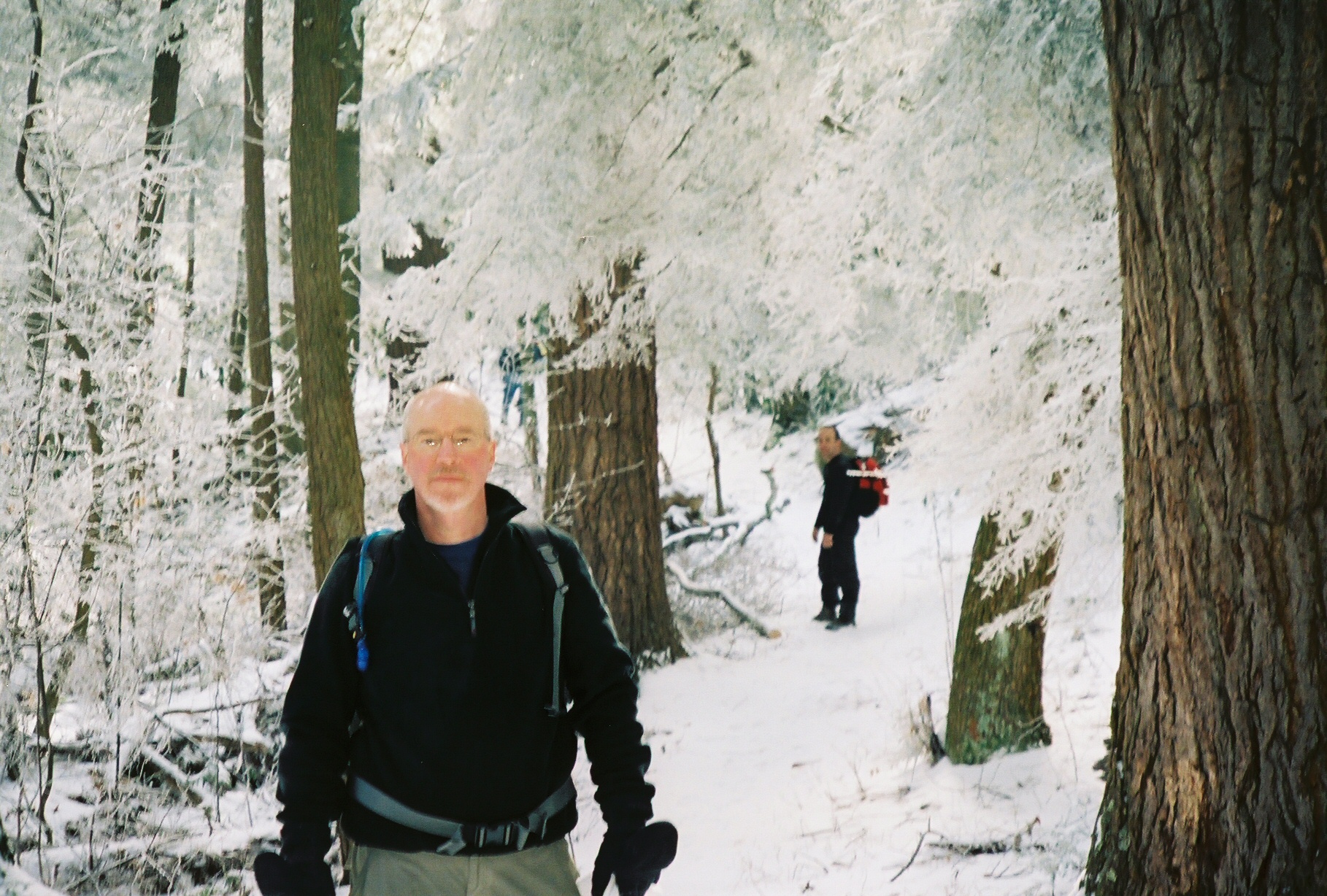
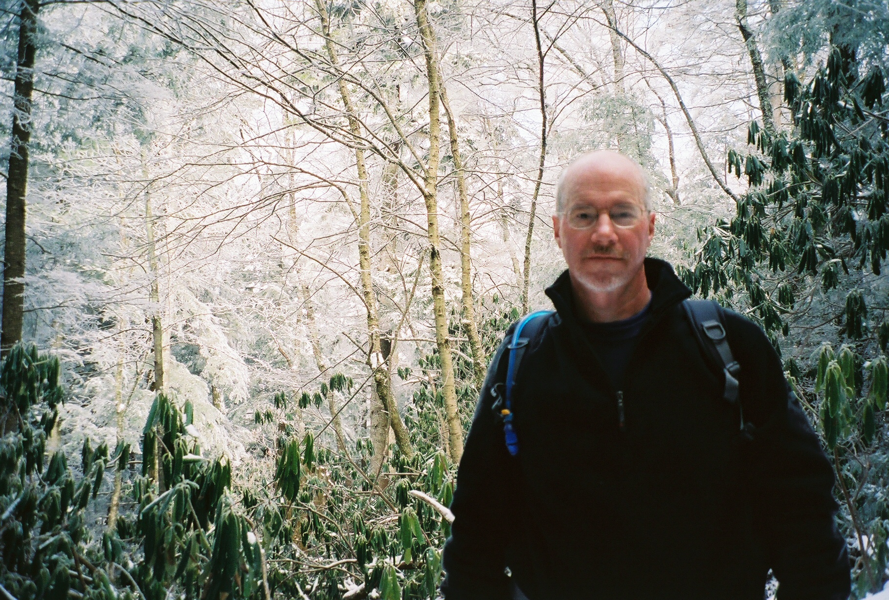
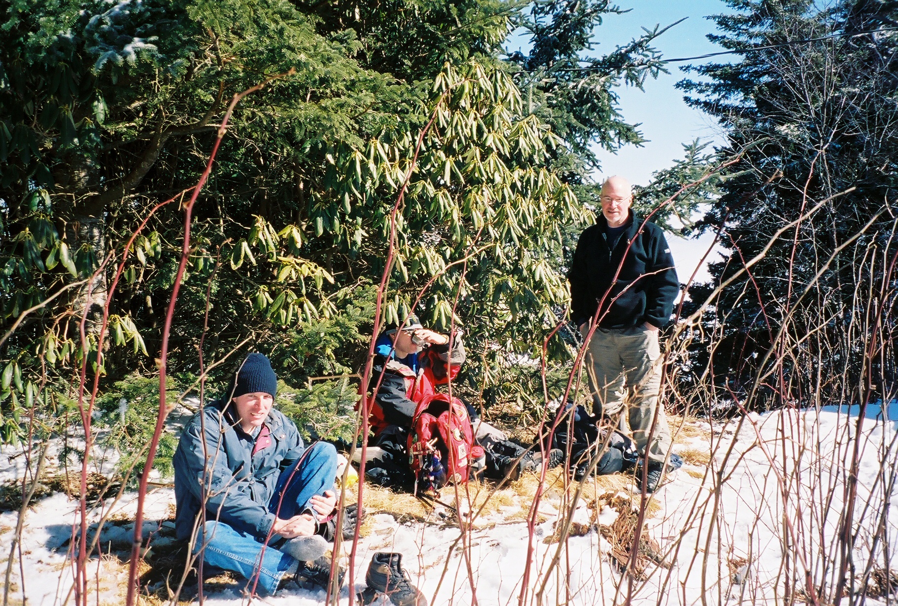
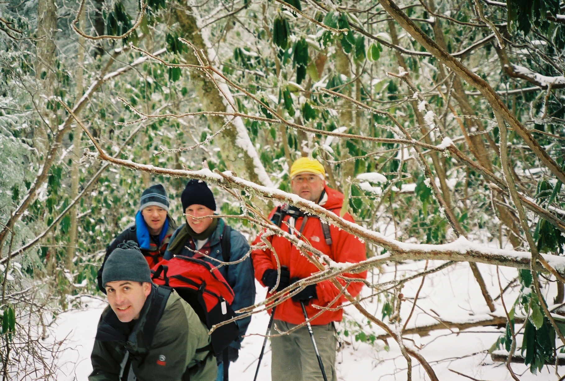
 Kent is back there
 John
John
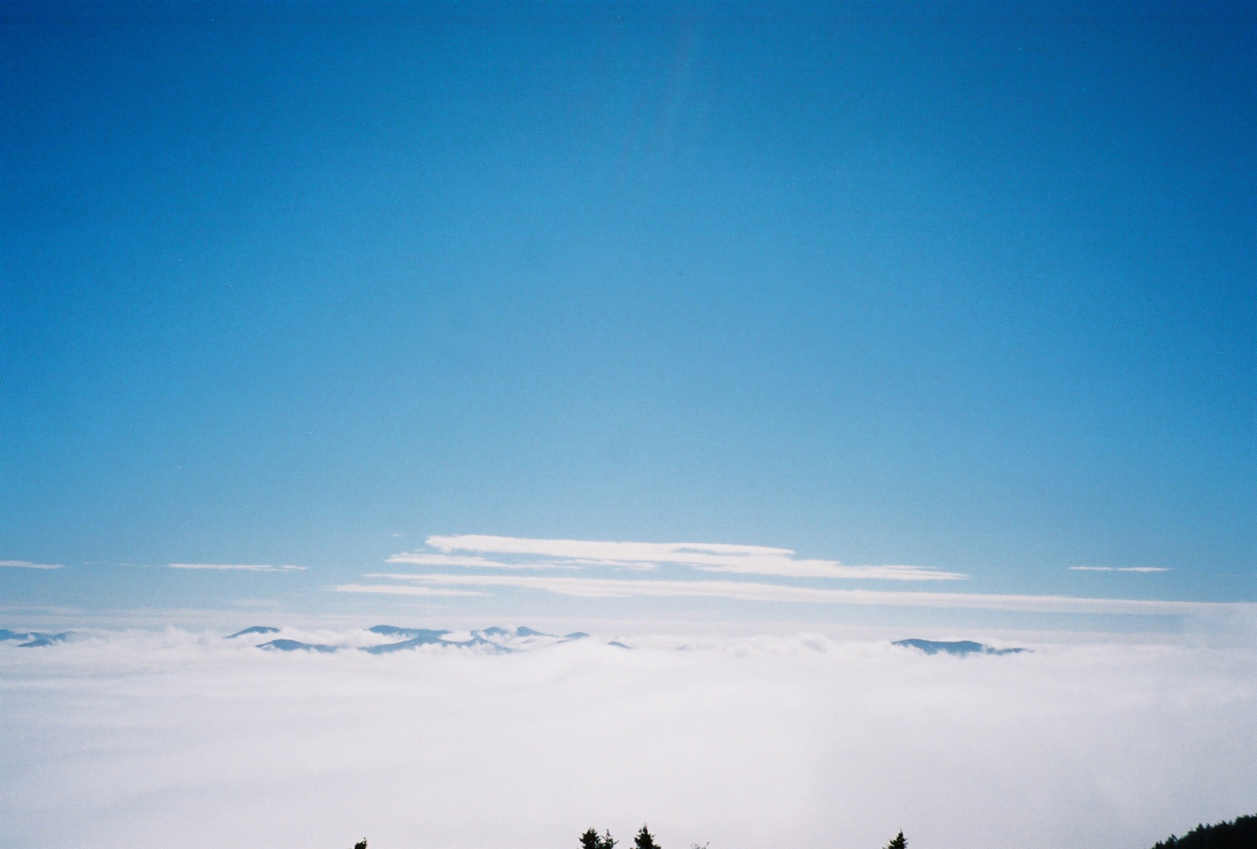
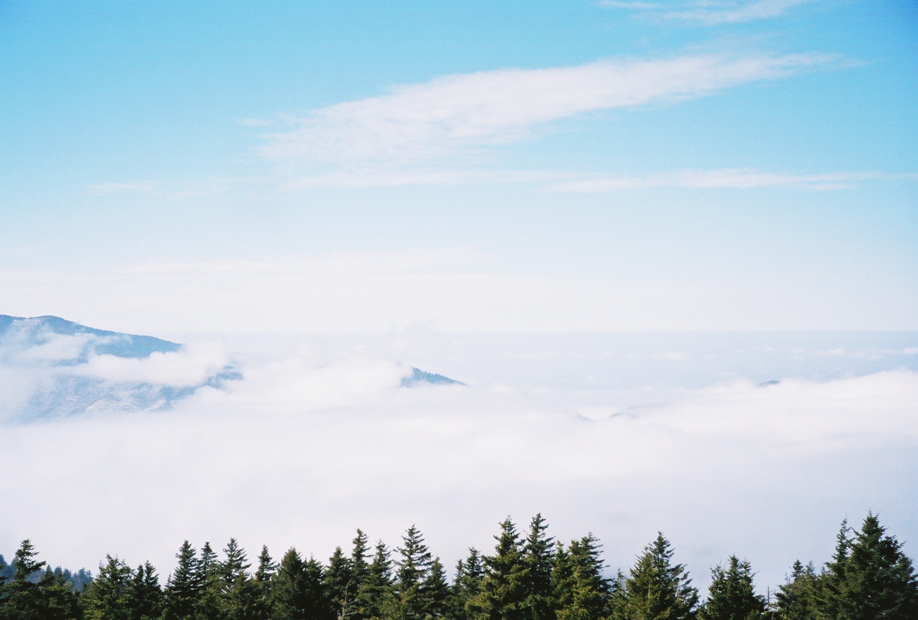
 From the Mount Sterling Tower - temps around 30F
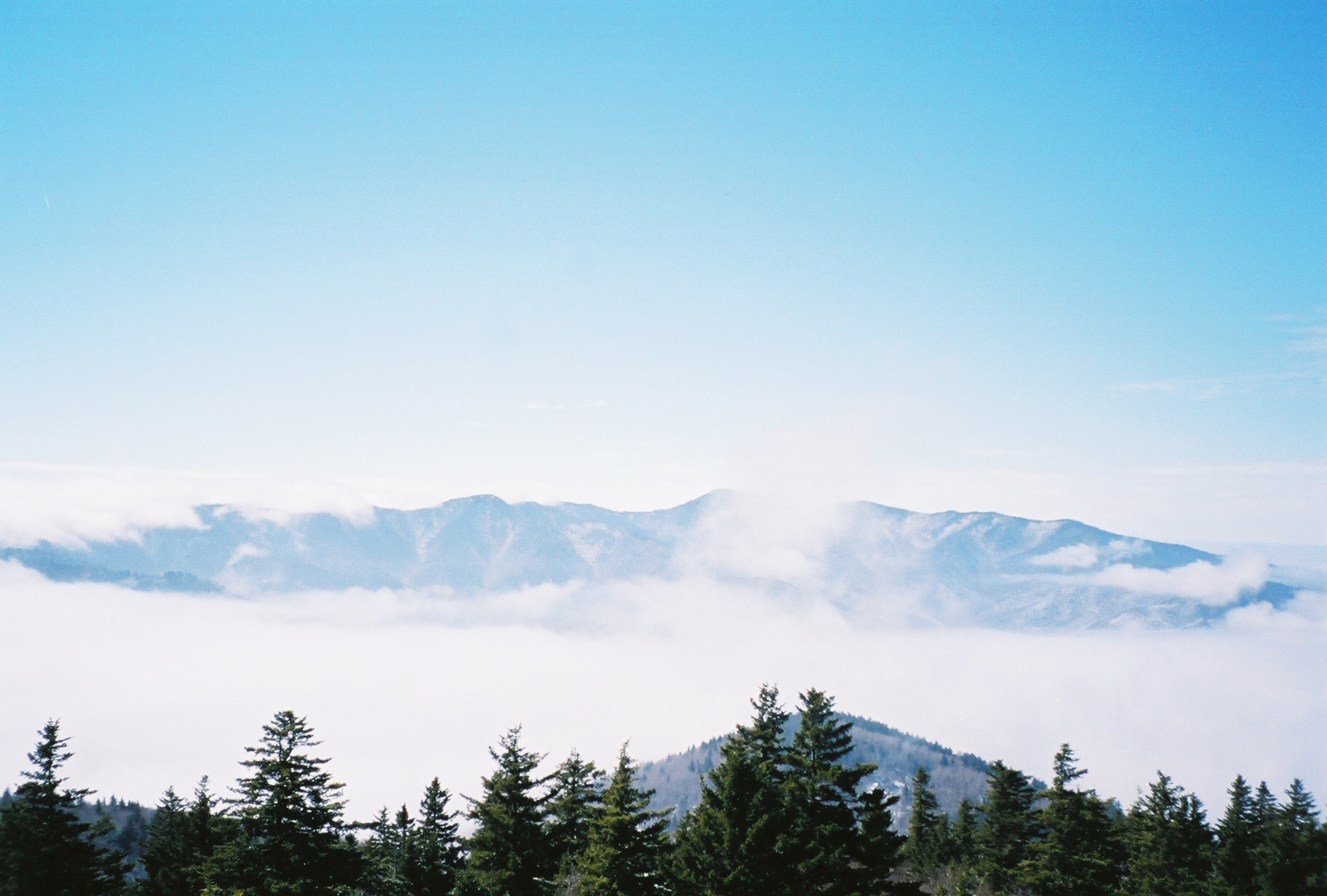
 From the Mount Sterling Tower
 From the Mount Sterling Tower
 From the Mount Sterling Tower/p>
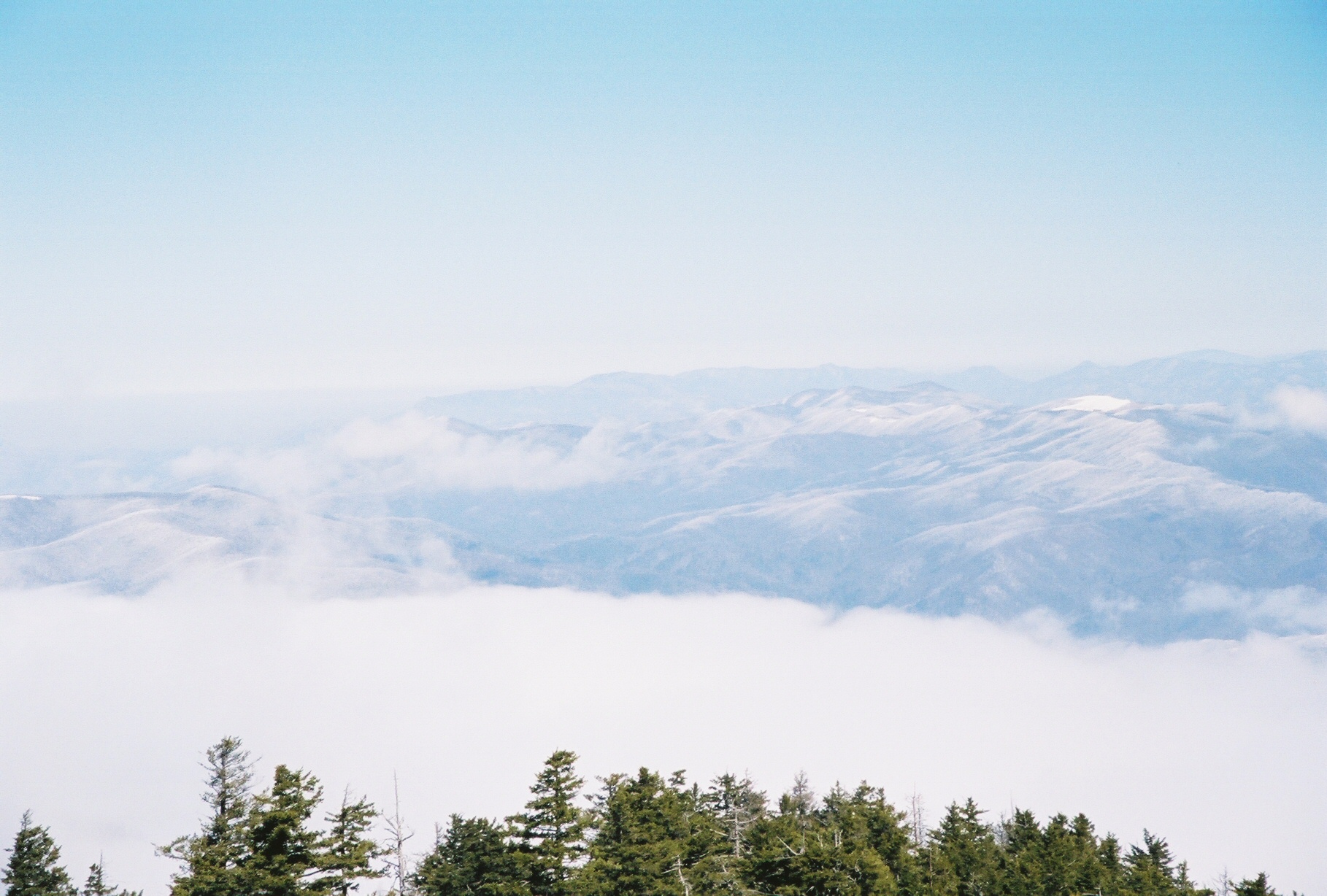
 From the Mount Sterling Tower
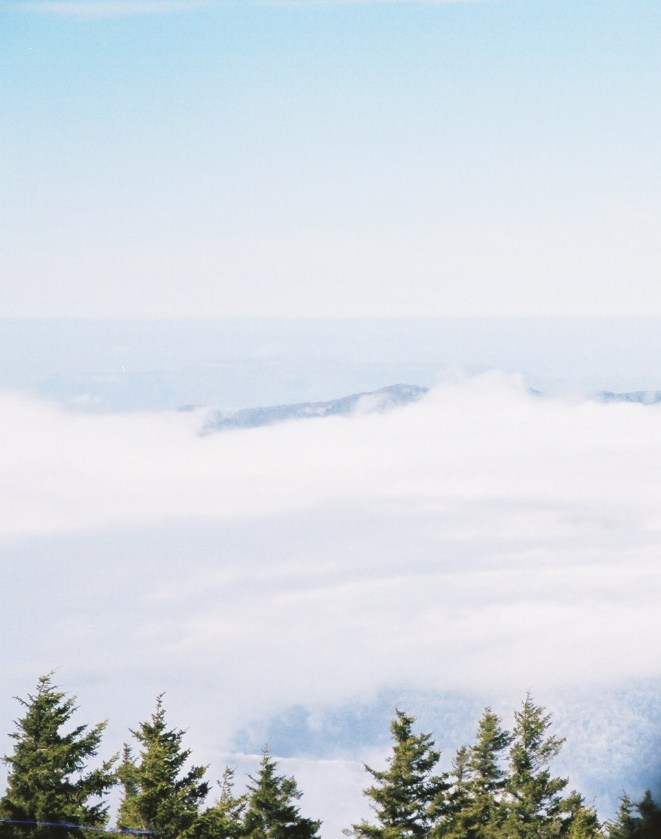
 From the Mount Sterling Tower
 From the Mount Sterling Tower
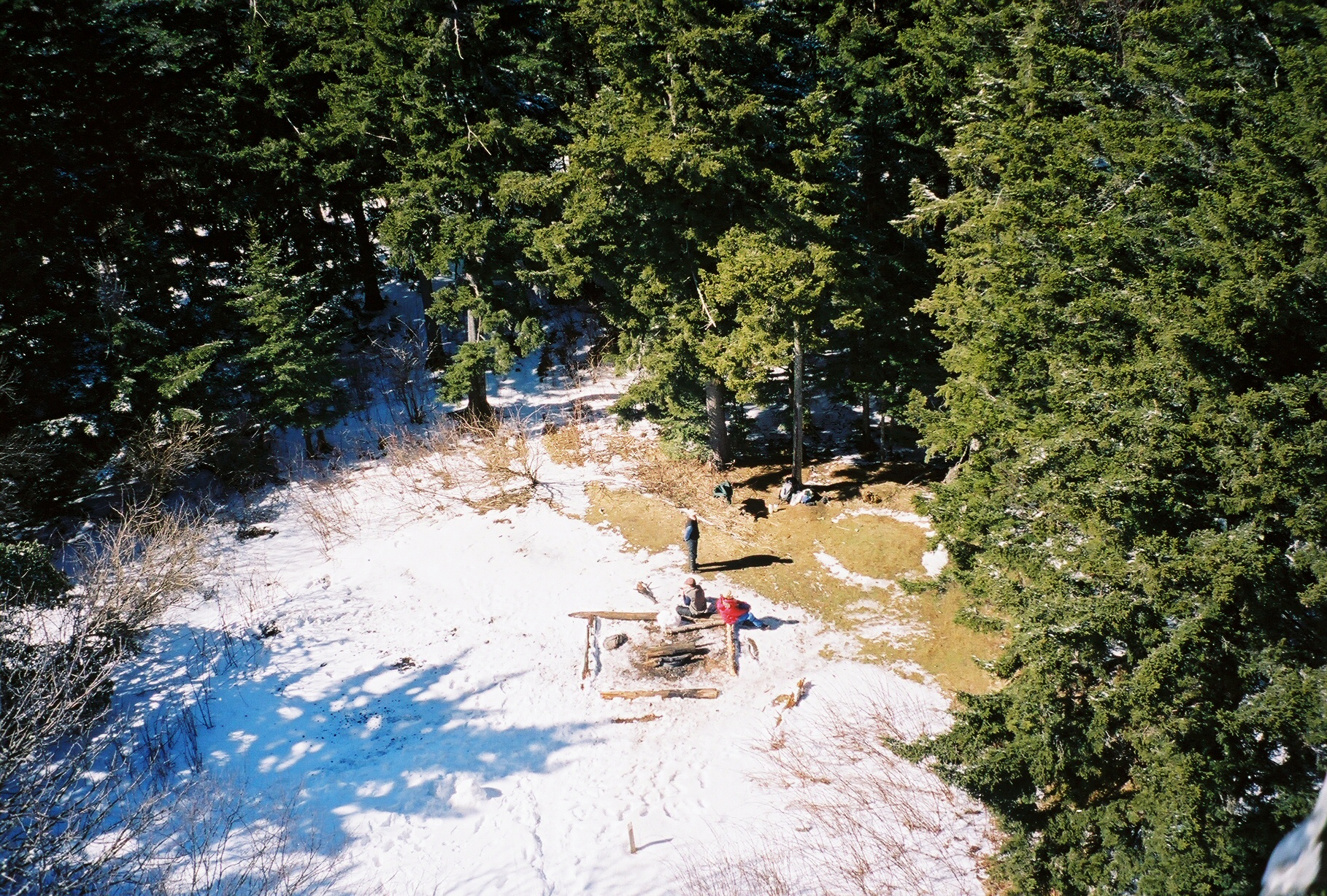 Camp spot at base of Tower taken from the top of the Tower
 From the Mount Sterling Tower
 From the Mount Sterling Tower
 From the Mount Sterling Tower
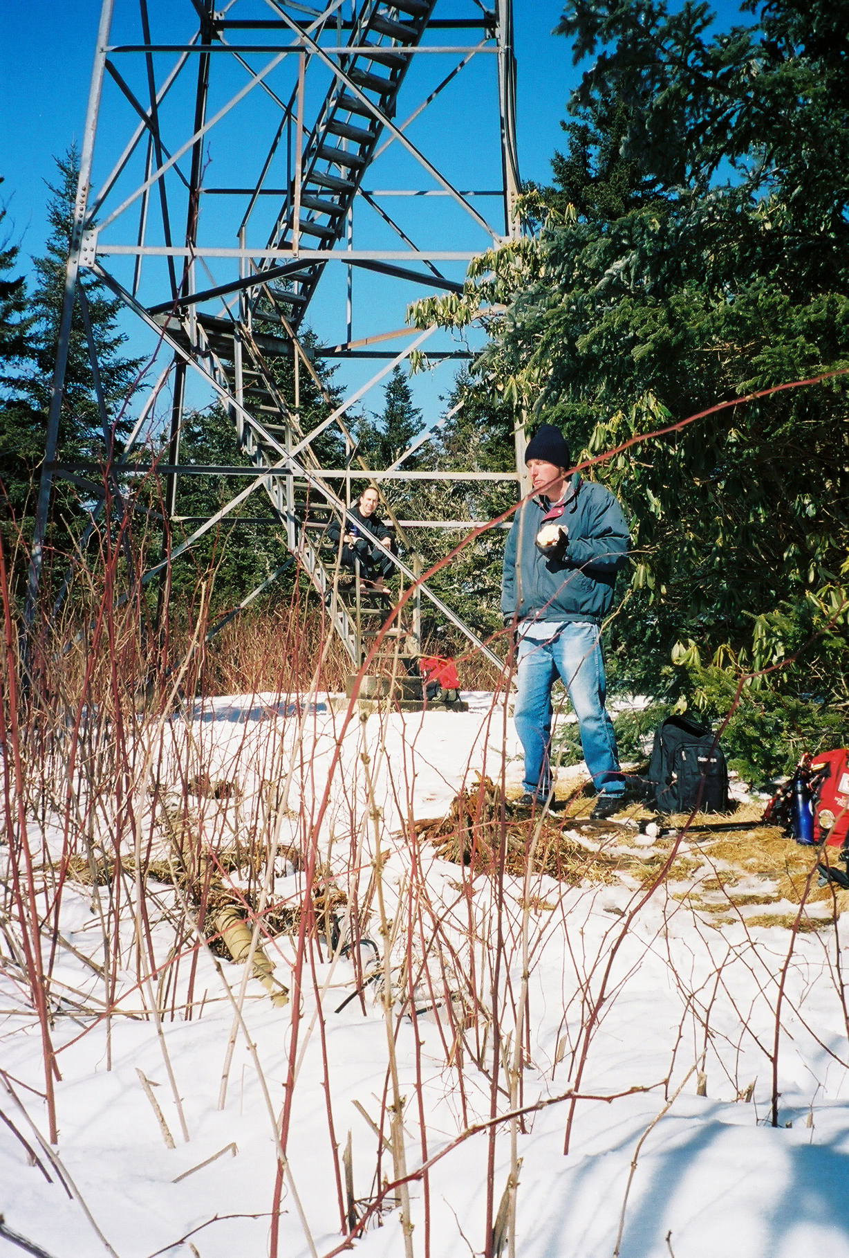
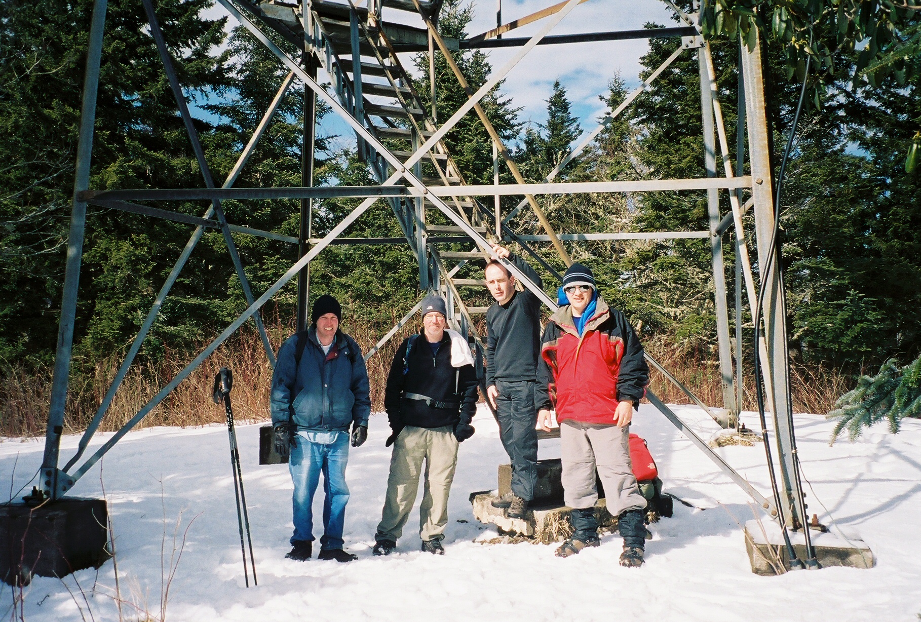
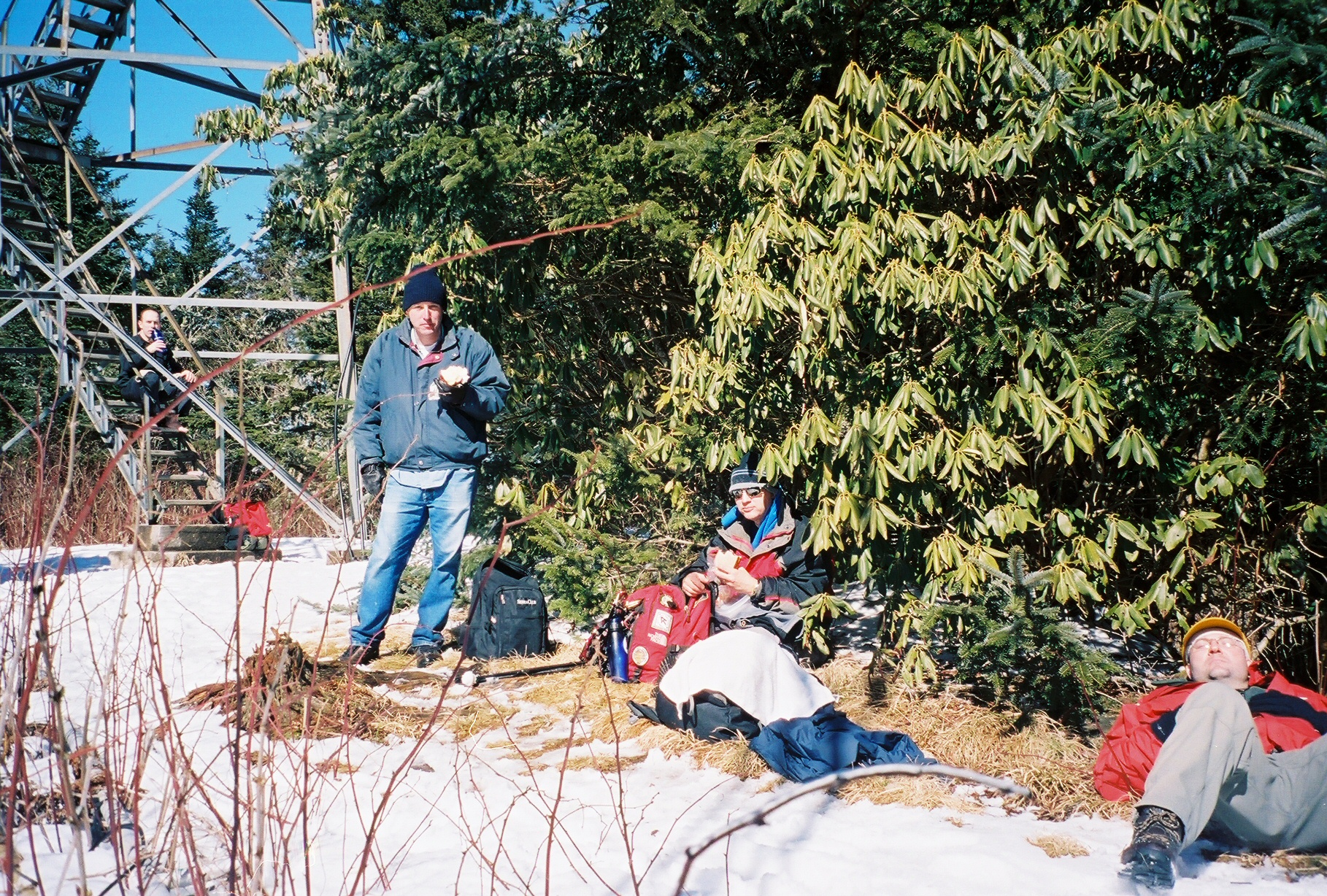 Tower with Kent on the steps, Michael, Chip and Mark
 Chip and Mark
 Ken on tower steps, Michael
 Chip and John
 Closest is Michael then Chip and John
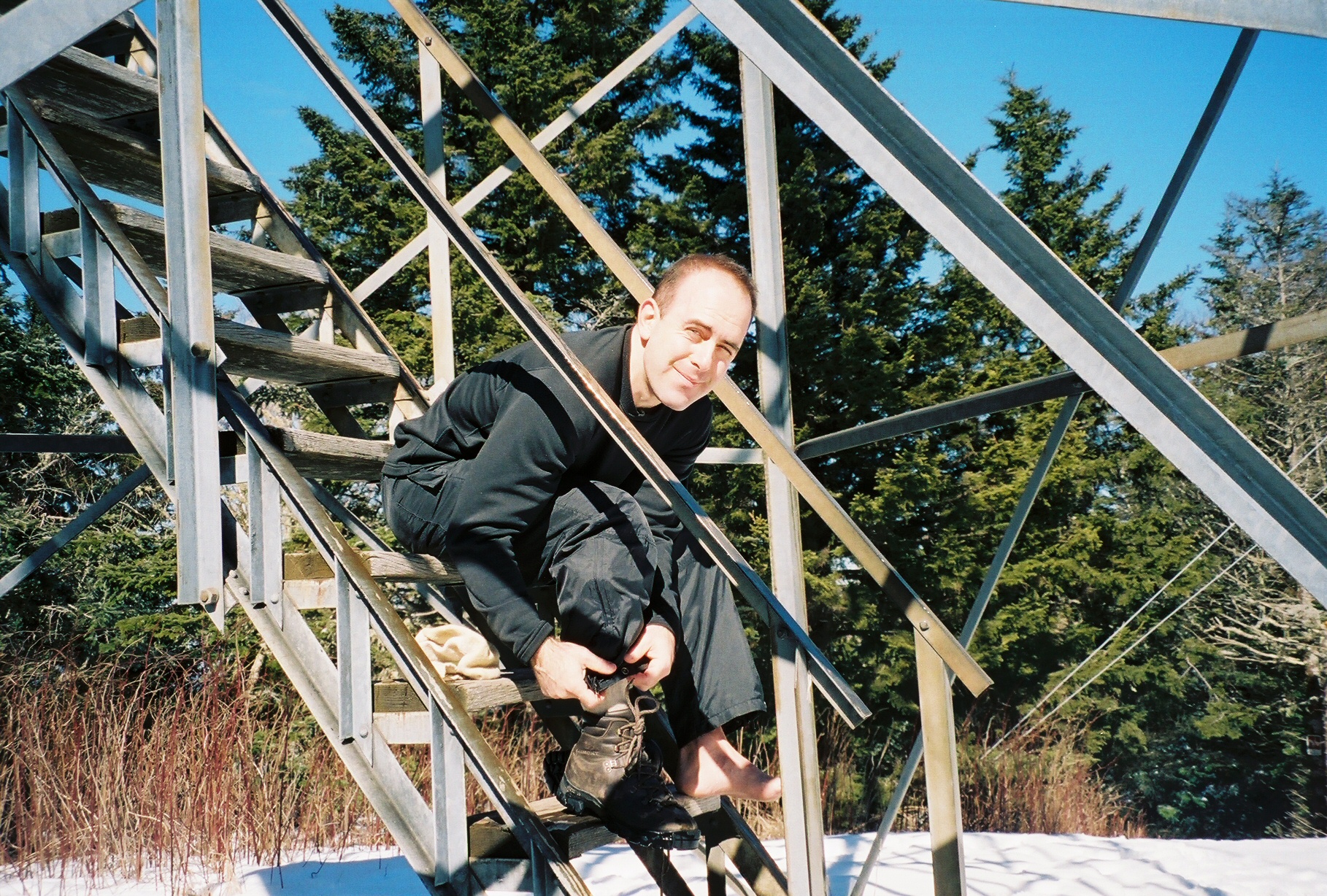 Kent on tower steps
 Kent on tower steps
 Kent on tower steps
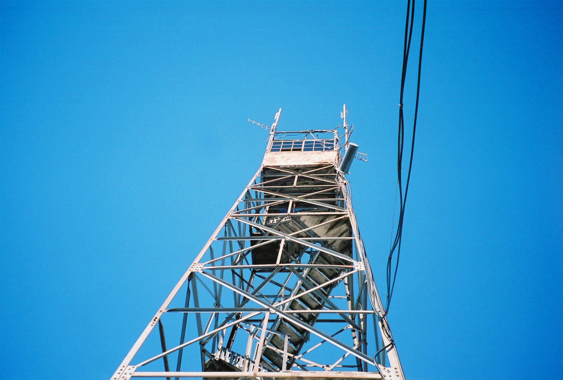 Picture of tower from directly below looking up - what a blue sky!
 Michael, Chip and John
 Michael, John, Kent, Chip
 Michael, John, Kent, Chip
 Closest is Kent then left-to-right is Chip, Michael, and Mark
 John
John
 Chip, John, Michael, Kent
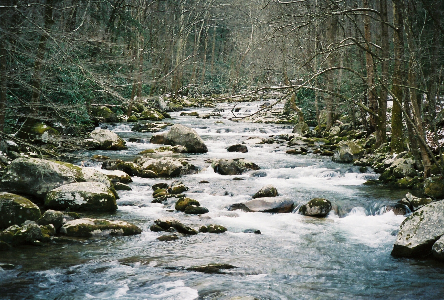 From the bridge towards the river at the Big Creek Campground
 Mark
Mark