 Mark
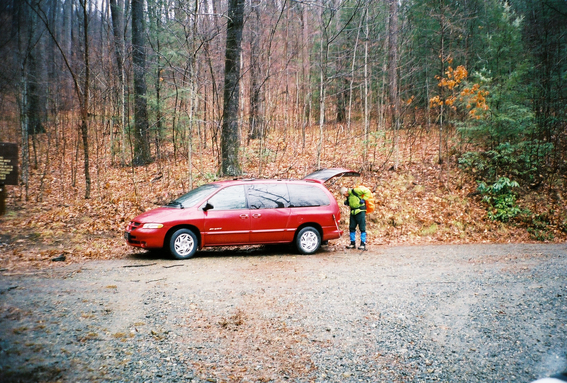
MarkCase Camp / Seniard Ridge loop / 1-29-2006
7.37 miles and 2340 feet of ascents as per my GPS
John, Tulip, Stuart and Me
We did it clockwise going up on the Southwest Ridge
PDF tracks of hike - seniard_ridge1.pdf
PDF tracks of hike - seniard_ridge2.pdf
PDF tracks of hike - seniard_ridge3.pdf
Click on any photo to get a bigger version:
Mark
 Stuart
 Wonderful view
 The back of Stuart and Mark
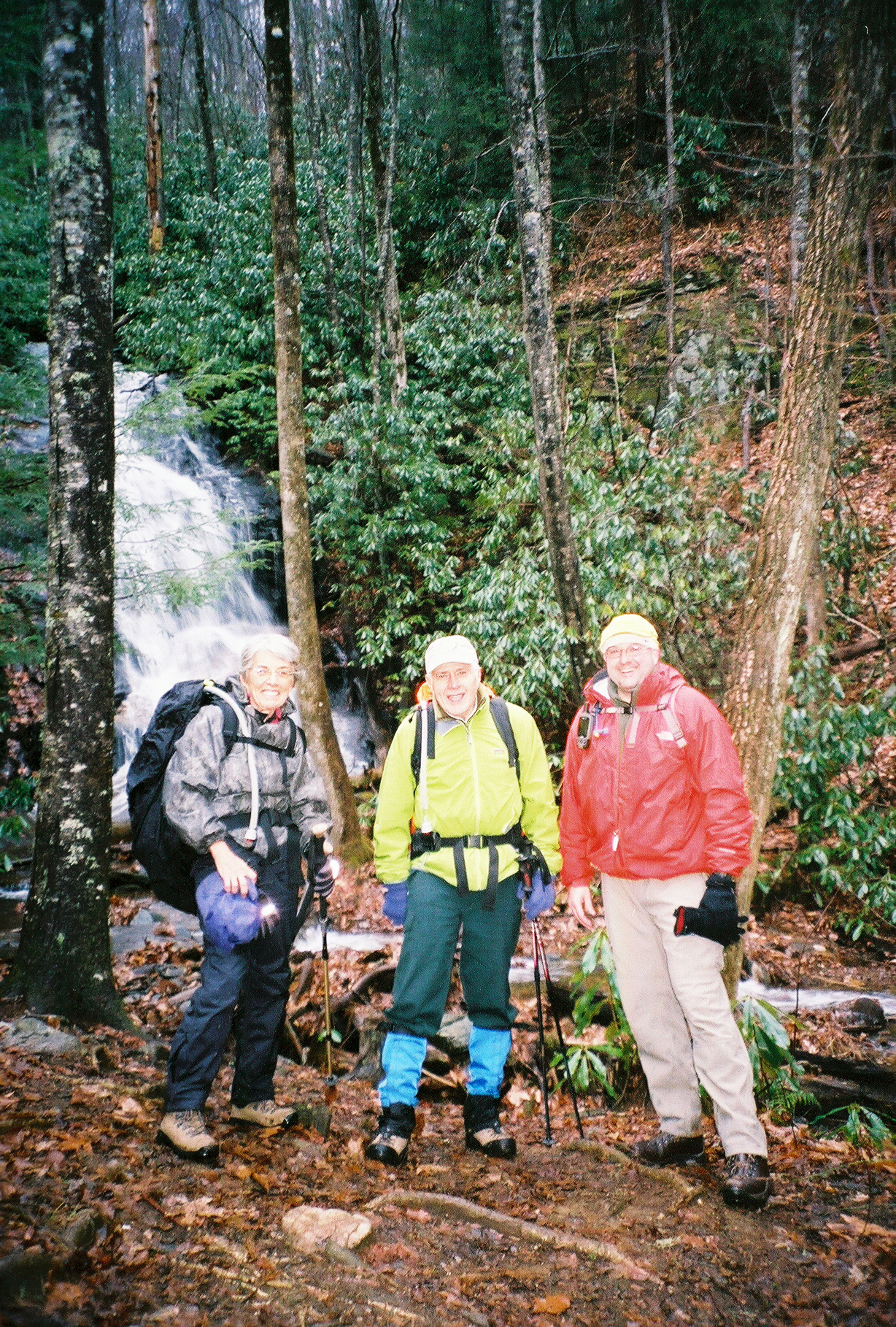 Tulip, Stuart and Mark
 Wonderful view
 Wonderful view
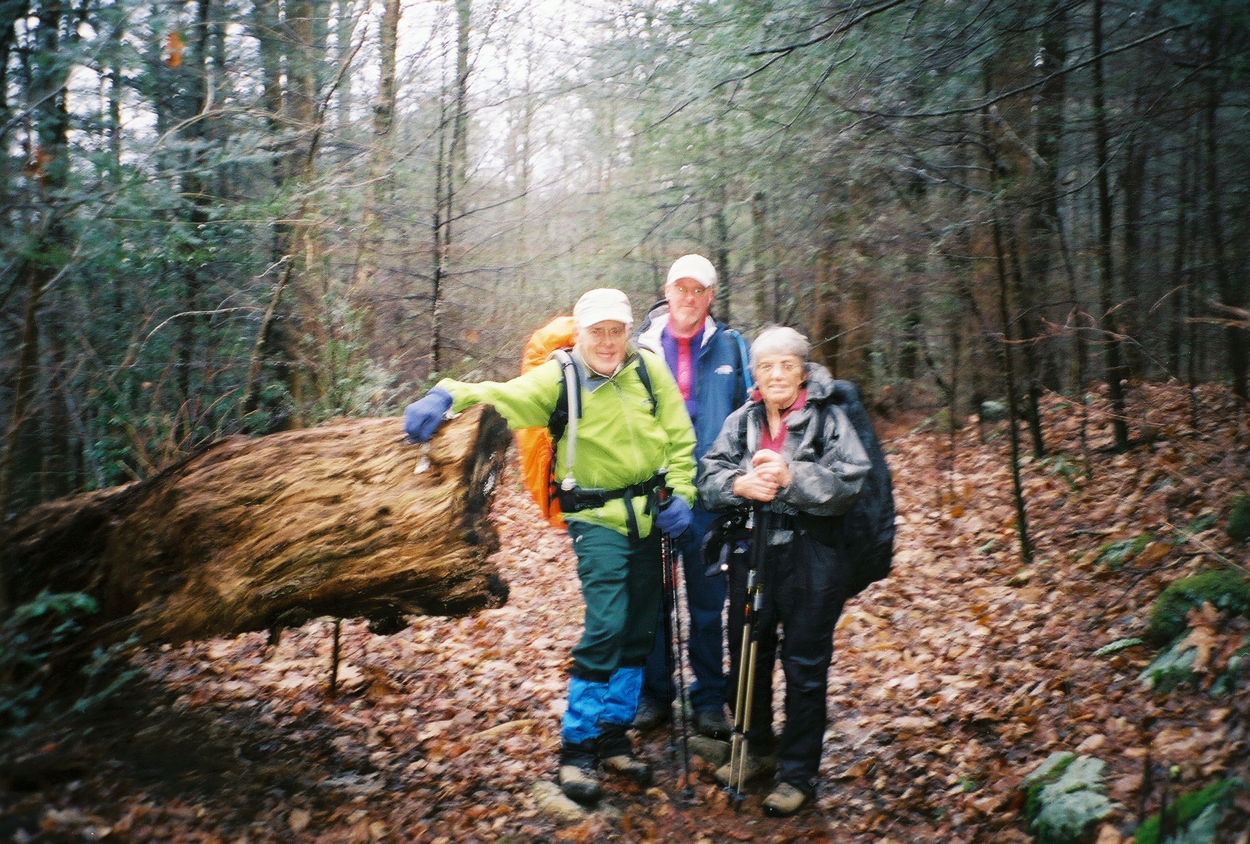
 Stuart, Mark and Tulip
 Closest with back turned is Tulip, Mark on the left and with back turned up front in Stuart
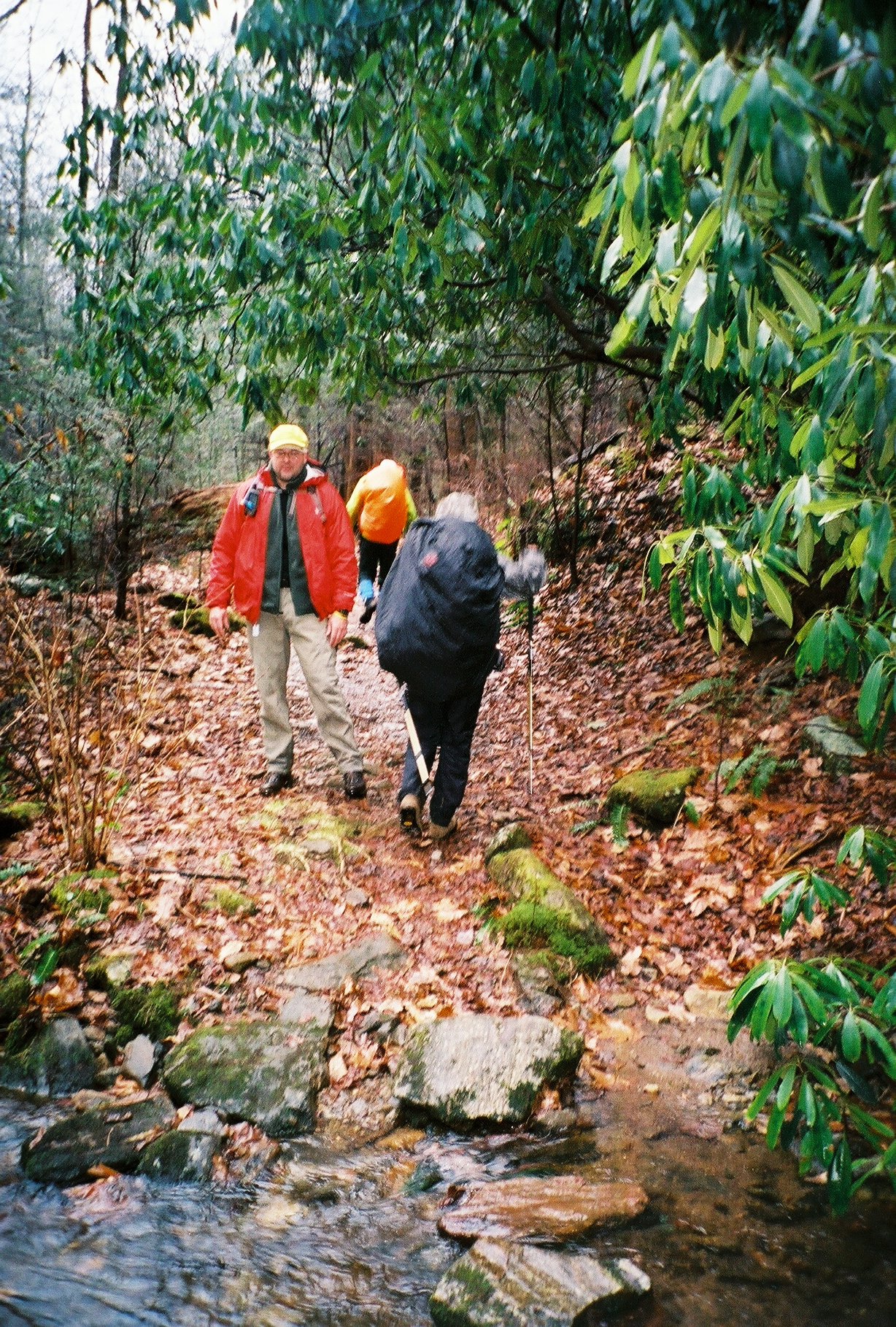
 Stuart, John and Tulip
 Wonderful view
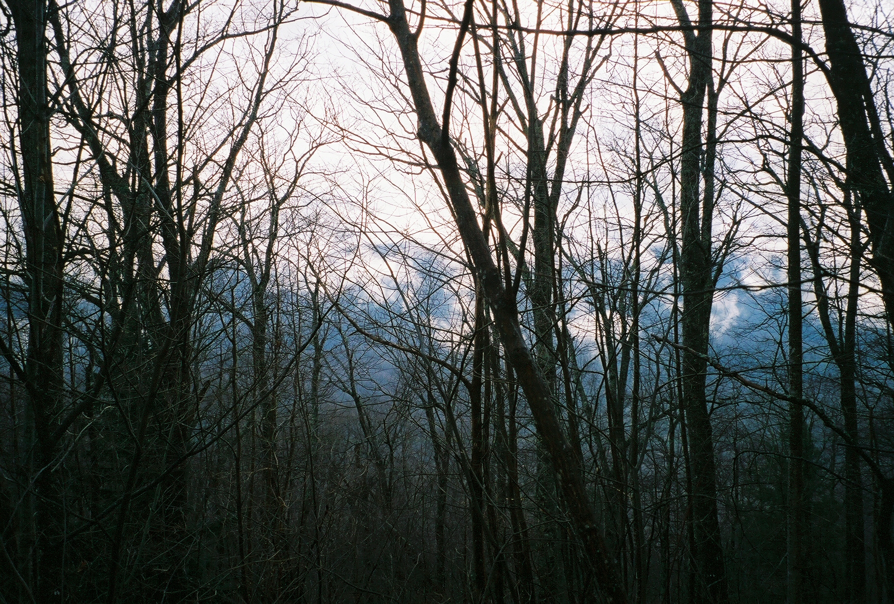 Wonderful view
 Wonderful view
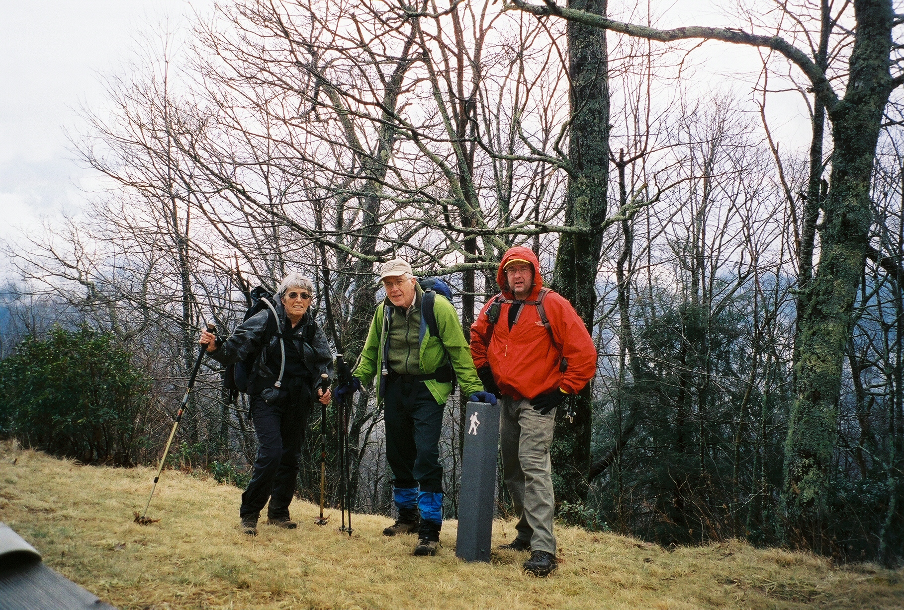 Tulip, Stuart and Mark at the top of the Seniard Ridge climb by trail marker
 John at the top of the Seniard Ridge climb by trail marker
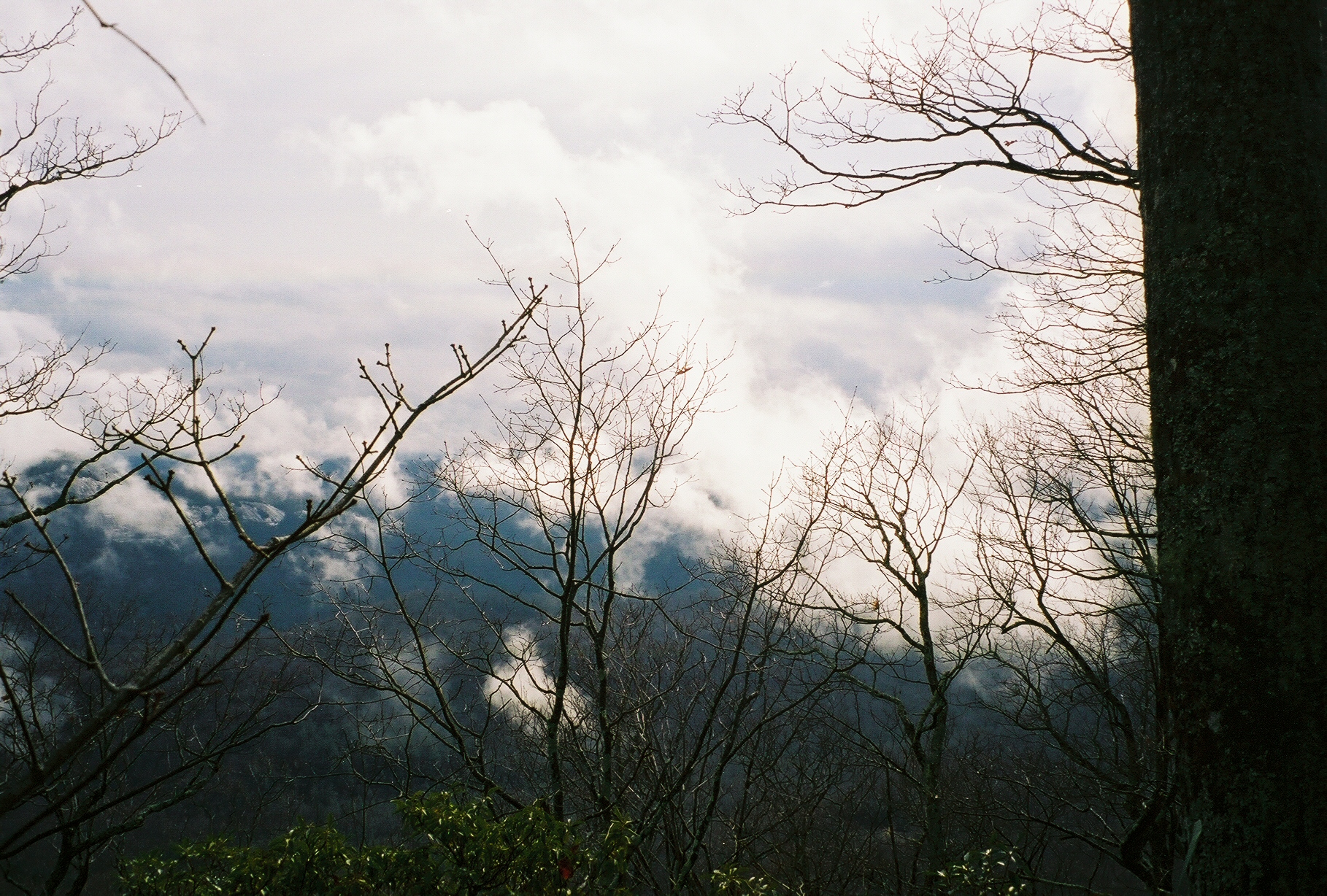
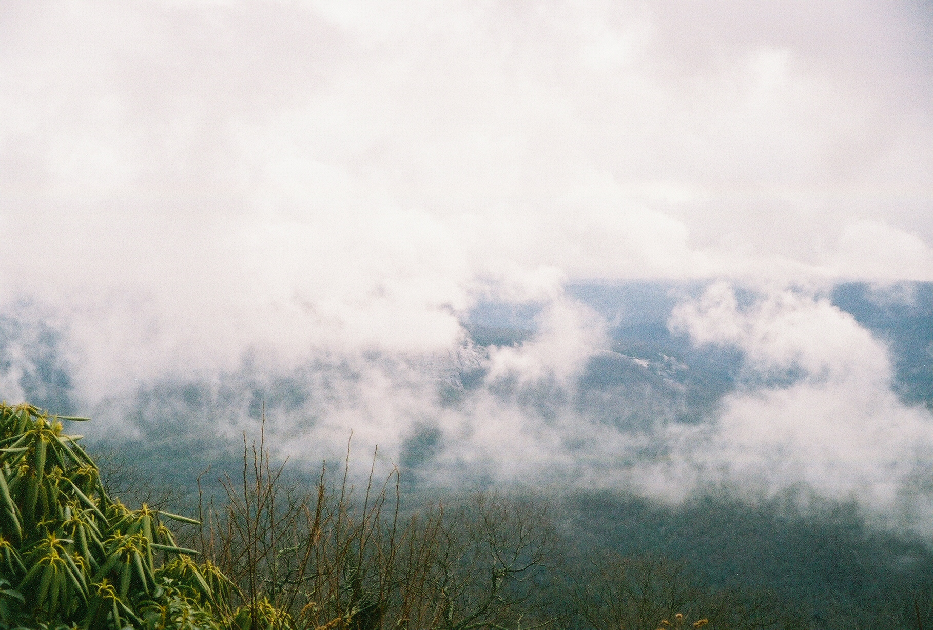 Looking Glass Rock behind the clouds
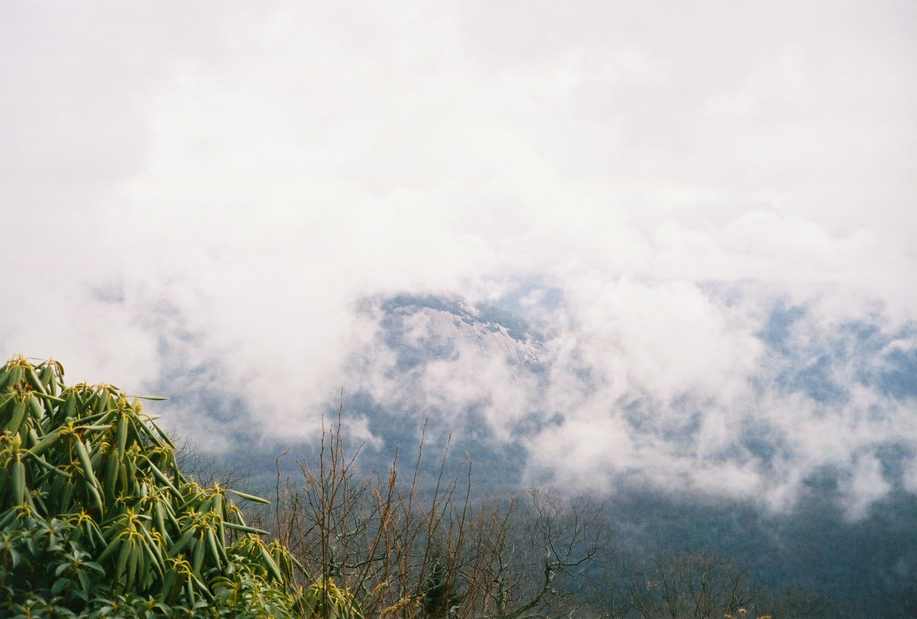 Looking Glass Rock behind the clouds
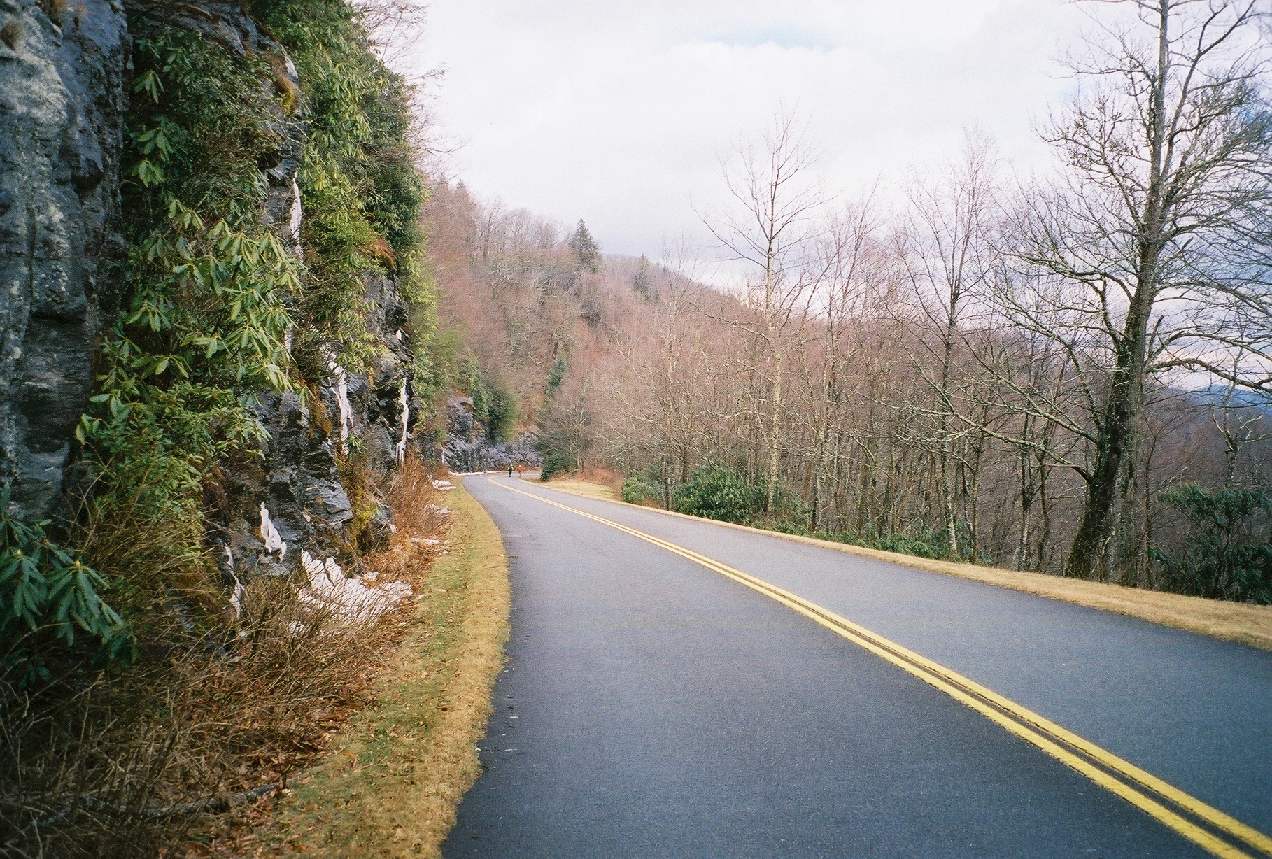
 Edge of the Blue Ridge Parkway - This section was closed for the winter
 More of the Blue Ridge Parkway
 Wonderful view
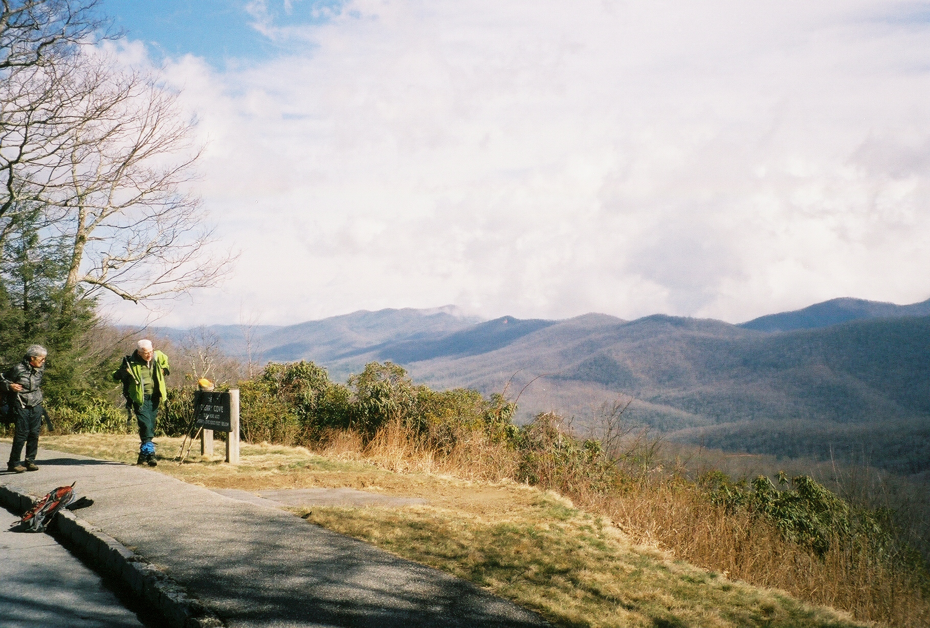 At the Outlook prior to heading down the Camp Case
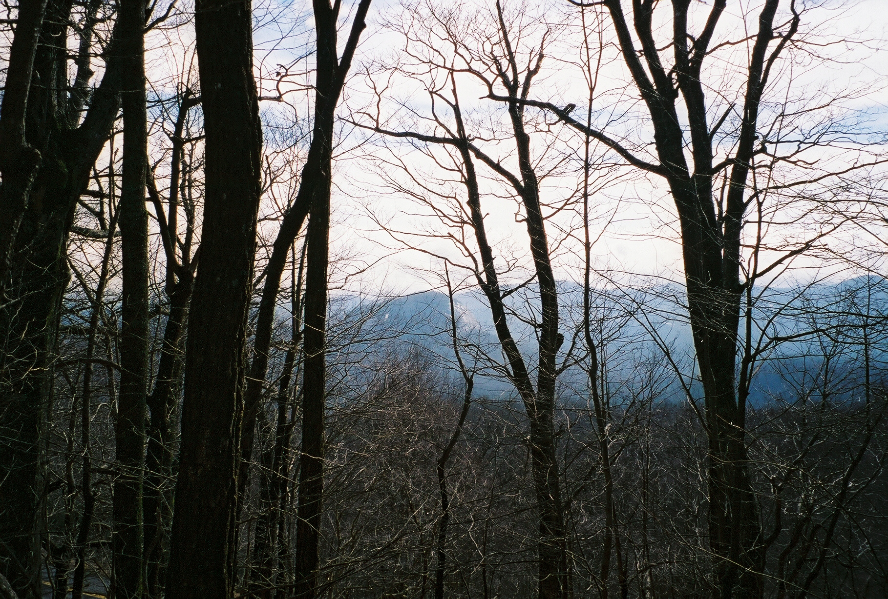
 Looking Glass Rock